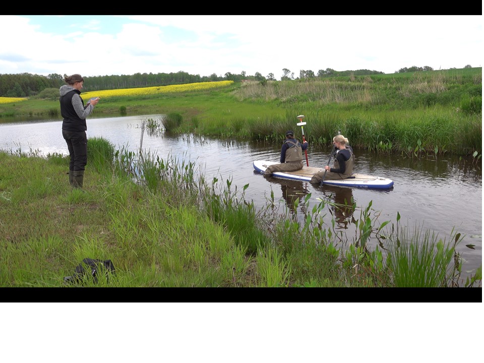
Bathymetry measuremnts ongoing av John Strand | jun 3, 2021 | Wetland as buffers | 0 Kommentarer We are now working with constucting maps of the topography of the wetlands. Field measuments of the depths is the first step. At the moment we are validating the sonar data with a GPS/GNSS-sensor Skicka kommentar Avbryt svarDin e-postadress kommer inte publiceras. Obligatoriska fält är märkta *Kommentar * Namn * E-postadress * Webbplats Spara mitt namn, min e-postadress och webbplats i denna webbläsare till nästa gång jag skriver en kommentar.