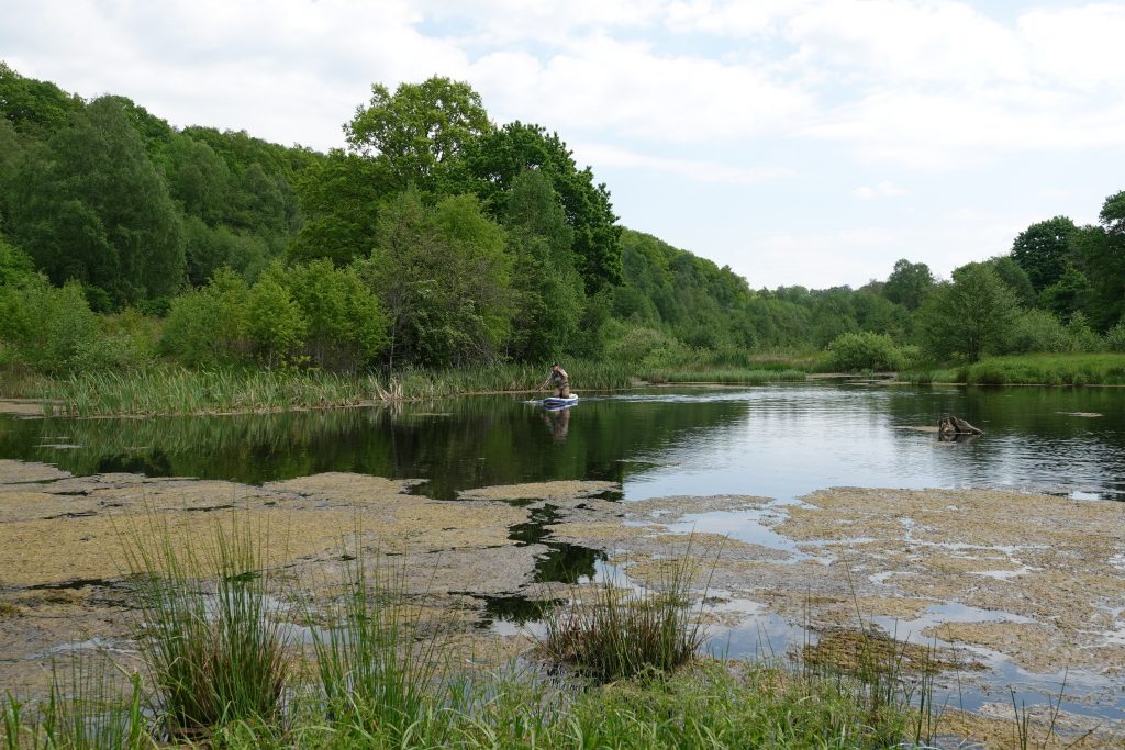
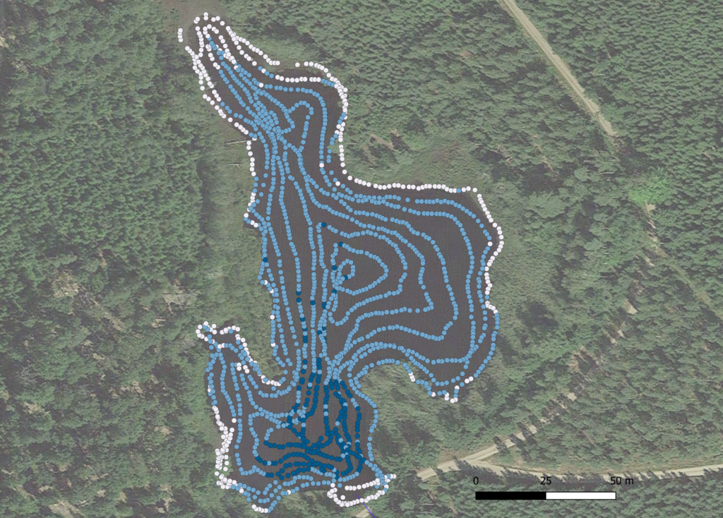
By combining sonar data that we get from paddling with a SUP and sonar in the open water, with high resolution GPS-measurements from the shoreline and in high and dense vegetation in shallow water we get very good data on the depth and shape och the wetlands. The photos shows Sofia paddling with a sonar (left) and the photo to the right shows the position of the water depth data points from the sonar (blue) and the water depth data points from the GPS (white) From this we can construct very detailed depths curves of the wetlands.