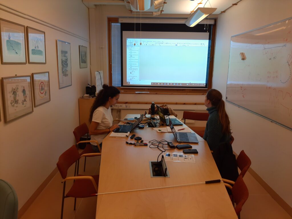
We had a meeting in Stockholm the 23-25 November to discuss the hydrology and bathymetry data. The enormous amount of data generated from the water level meters and the bathymetry surveys needs to be processed in an efficient way to be able to evaluate. Now we have developed a strategy to incorporate the data into GIS for further handling and evaluation, and to produce bathymetry maps of all the wetlands.

